New Barnes Mill
Introduction
The photograph on this page of New Barnes Mill by Ian Capper as part of the Geograph project.
The Geograph project started in 2005 with the aim of publishing, organising and preserving representative images for every square kilometre of Great Britain, Ireland and the Isle of Man.

There are currently over 7.5m images from over 14,400 individuals and you can help contribute to the project by visiting https://www.geograph.org.uk
New Barnes Mill
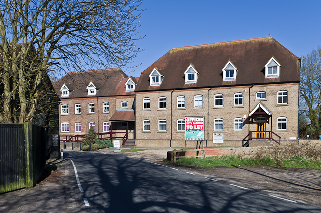
Image: © Ian Capper Taken: 20 Apr 2013
Former flour mill, in use until the Second World War, now converted to offices and light industrial use. The original buildings date from the late 19th century.
Images are licensed for reuse under creativecommons.org/licenses/by-sa/2.0
Image Location
Latitude
51.735905
Longitude
-0.327598