The tidal model of the Tay
Introduction
The photograph on this page of The tidal model of the Tay by Elliott Simpson as part of the Geograph project.
The Geograph project started in 2005 with the aim of publishing, organising and preserving representative images for every square kilometre of Great Britain, Ireland and the Isle of Man.

There are currently over 7.5m images from over 14,400 individuals and you can help contribute to the project by visiting https://www.geograph.org.uk
The tidal model of the Tay
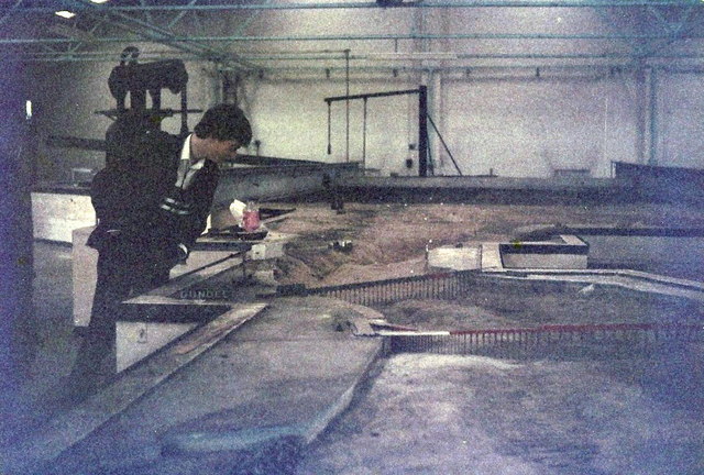
Image: © Elliott Simpson Taken: Unknown
I believe this was loaded with fine sand, filled with water and tidal movements were simulated to predict the movement of the sandbanks.
Images are licensed for reuse under creativecommons.org/licenses/by-sa/2.0
Image Location
Latitude
56.46742
Longitude
-2.92396