Duckthorpe Lane and its ancient cottage
Introduction
The photograph on this page of Duckthorpe Lane and its ancient cottage by Chris as part of the Geograph project.
The Geograph project started in 2005 with the aim of publishing, organising and preserving representative images for every square kilometre of Great Britain, Ireland and the Isle of Man.

There are currently over 7.5m images from over 14,400 individuals and you can help contribute to the project by visiting https://www.geograph.org.uk
Duckthorpe Lane and its ancient cottage
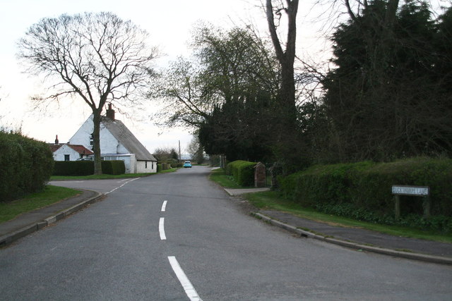
Image: © Chris Taken: 23 Apr 2013
See: http://www.britishlistedbuildings.co.uk/en-195347-the-cottage-marshchapel-lincolnshire: "Cottage: c.1700 with C19 addition. Mud and stud, plastered and painted, painted brick extension to left. Pantile roof, single axial stack. Originally 2 unit plan extended to 3. Single storey with garret..."
Images are licensed for reuse under creativecommons.org/licenses/by-sa/2.0
Image Location
Latitude
53.475849
Longitude
0.041683