Arable land at Easington Grange
Introduction
The photograph on this page of Arable land at Easington Grange by Graham Robson as part of the Geograph project.
The Geograph project started in 2005 with the aim of publishing, organising and preserving representative images for every square kilometre of Great Britain, Ireland and the Isle of Man.

There are currently over 7.5m images from over 14,400 individuals and you can help contribute to the project by visiting https://www.geograph.org.uk
Arable land at Easington Grange
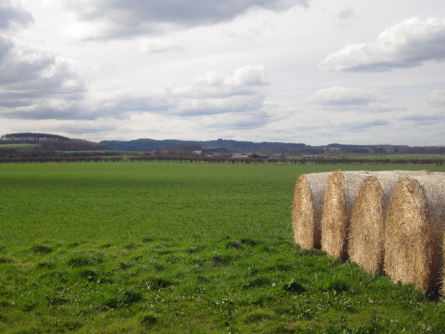
Image: © Graham Robson Taken: 24 Apr 2013
Arable land west of Easington Grange. Several rows of round straw bales are stored alongside the hedge next to the field entrance.
Images are licensed for reuse under creativecommons.org/licenses/by-sa/2.0
Image Location
Latitude
55.614667
Longitude
-1.815496