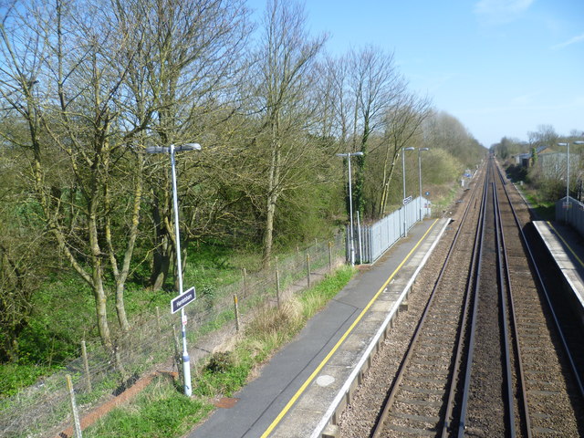
Harrietsham station from the footbridge
Introduction
The photograph on this page of Harrietsham station from the footbridge by Marathon as part of the Geograph project.
The Geograph project started in 2005 with the aim of publishing, organising and preserving representative images for every square kilometre of Great Britain, Ireland and the Isle of Man.
There are currently over 7.5m images from over 14,400 individuals and you can help contribute to the project by visiting https://www.geograph.org.uk

Image: © Marathon Taken: 23 Apr 2013
The line from Otford to Maidstone East was opened on 1st June 1874 by the London, Chatham & Dover Railway. On 1st July 1884 this was extended from Maidstone East to Ashford with intermediate stations opening at Bearsted, Hollingbourne, Harrietsham, Lenham and Charing on the same day. Harrietsham station is on the northern edge of the village with open countryside beyond the down platform (to the left here). A footpath leads away from the down platform across fields to meet the Pilgrims Way which is also followed by the North Downs Way. In the photograph, this footpath can be seen running parallel to the platform before turning left towards the North Downs.

