The Thames from Richmond Bridge
Introduction
The photograph on this page of The Thames from Richmond Bridge by Carl Grove as part of the Geograph project.
The Geograph project started in 2005 with the aim of publishing, organising and preserving representative images for every square kilometre of Great Britain, Ireland and the Isle of Man.

There are currently over 7.5m images from over 14,400 individuals and you can help contribute to the project by visiting https://www.geograph.org.uk
The Thames from Richmond Bridge
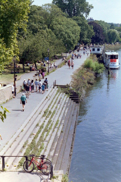
Image: © Carl Grove Taken: 24 Jul 1999
The steps close to Richmond Bridge, looking South East.
Images are licensed for reuse under creativecommons.org/licenses/by-sa/2.0
Image Location
Latitude
51.45687
Longitude
-0.305746