Listed Cottages, Stisted
Introduction
The photograph on this page of Listed Cottages, Stisted by Roger Jones as part of the Geograph project.
The Geograph project started in 2005 with the aim of publishing, organising and preserving representative images for every square kilometre of Great Britain, Ireland and the Isle of Man.

There are currently over 7.5m images from over 14,400 individuals and you can help contribute to the project by visiting https://www.geograph.org.uk
Listed Cottages, Stisted
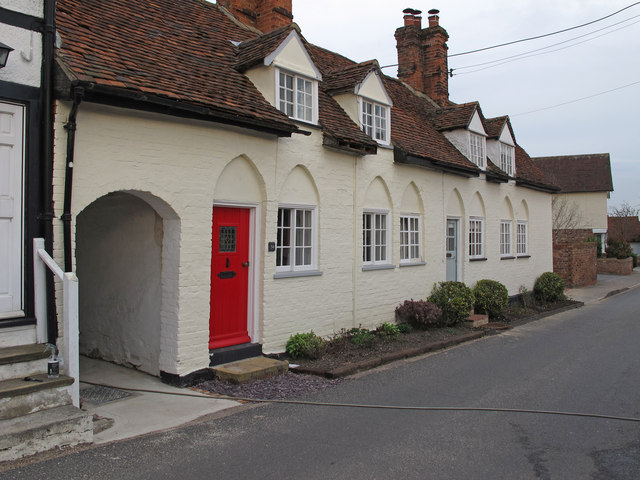
Image: © Roger Jones Taken: 24 Apr 2013
Pair of attached cottages, late C18/early C19, The Street, Stisted. List entry Number: 1305619 http://list.english-heritage.org.uk/resultsingle.aspx?uid=1305619
Images are licensed for reuse under creativecommons.org/licenses/by-sa/2.0
Image Location
Latitude
51.893341
Longitude
0.614335