Bench Mark, Normanton crossroads
Introduction
The photograph on this page of Bench Mark, Normanton crossroads by Alan Murray-Rust as part of the Geograph project.
The Geograph project started in 2005 with the aim of publishing, organising and preserving representative images for every square kilometre of Great Britain, Ireland and the Isle of Man.

There are currently over 7.5m images from over 14,400 individuals and you can help contribute to the project by visiting https://www.geograph.org.uk
Bench Mark, Normanton crossroads
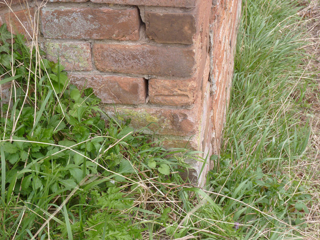
Image: © Alan Murray-Rust Taken: 21 Apr 2013
See http://www.geograph.org.uk/photo/3429542 for the location view.
Images are licensed for reuse under creativecommons.org/licenses/by-sa/2.0
Image Location
Latitude
53.085042
Longitude
-0.941484