Countryside near Parkyns
Introduction
The photograph on this page of Countryside near Parkyns by Derek Harper as part of the Geograph project.
The Geograph project started in 2005 with the aim of publishing, organising and preserving representative images for every square kilometre of Great Britain, Ireland and the Isle of Man.

There are currently over 7.5m images from over 14,400 individuals and you can help contribute to the project by visiting https://www.geograph.org.uk
Countryside near Parkyns
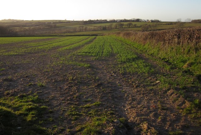
Image: © Derek Harper Taken: 19 Apr 2013
The head of the valley that lies north of the Roborough ridge, seen from the road to Parkyns Cross. The indistinct farm on the central horizon is East Cliston.
Images are licensed for reuse under creativecommons.org/licenses/by-sa/2.0
Image Location
Latitude
50.936984
Longitude
-4.006674