Approaching Harraby
Introduction
The photograph on this page of Approaching Harraby by Phil Williams as part of the Geograph project.
The Geograph project started in 2005 with the aim of publishing, organising and preserving representative images for every square kilometre of Great Britain, Ireland and the Isle of Man.

There are currently over 7.5m images from over 14,400 individuals and you can help contribute to the project by visiting https://www.geograph.org.uk
Approaching Harraby
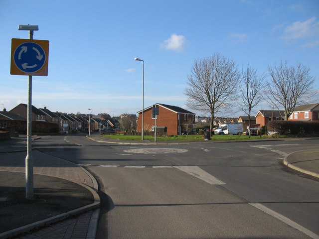
Image: © Phil Williams Taken: 17 Feb 2007
A view looking to the northwest along Cumwhinton Drive towards the mini-roundabout at the junction with Garlands Road, approaching the residential area of Harraby.
Images are licensed for reuse under creativecommons.org/licenses/by-sa/2.0
Image Location
Latitude
54.87329
Longitude
-2.893488