Radford brook culvert in Naul's Mill Park
Introduction
The photograph on this page of Radford brook culvert in Naul's Mill Park by starkderrick as part of the Geograph project.
The Geograph project started in 2005 with the aim of publishing, organising and preserving representative images for every square kilometre of Great Britain, Ireland and the Isle of Man.

There are currently over 7.5m images from over 14,400 individuals and you can help contribute to the project by visiting https://www.geograph.org.uk
Radford brook culvert in Naul's Mill Park
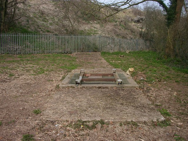
Image: © starkderrick Taken: 10 Apr 2013
The concrete shows the path of the culvert and the approximate path of the former brook. In the mid distance is a padlocked service hatch. The brook can be seen and heard through the grill. This is one of only two places where the brook can now be seen. In the heyday of the mill this area would probably have been under water.
Images are licensed for reuse under creativecommons.org/licenses/by-sa/2.0
Image Location
Latitude
52.415577
Longitude
-1.51859