Tan House Lane
Introduction
The photograph on this page of Tan House Lane by David Dixon as part of the Geograph project.
The Geograph project started in 2005 with the aim of publishing, organising and preserving representative images for every square kilometre of Great Britain, Ireland and the Isle of Man.

There are currently over 7.5m images from over 14,400 individuals and you can help contribute to the project by visiting https://www.geograph.org.uk
Tan House Lane
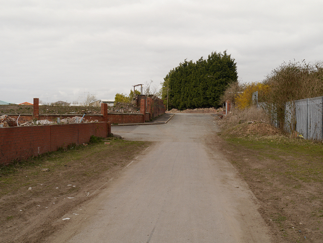
Image: © David Dixon Taken: 23 Apr 2013
The Widnes Waterfront Regeneration Programme was developed to transform over 300 acres of former chemical works on the north bank of the River Mersey into a mixed use area, providing a place for businesses to locate and for people to enjoy. The programme began in 2002 using European and UK Government funding and has since attracted further private sector investment.
Images are licensed for reuse under creativecommons.org/licenses/by-sa/2.0
Image Location
Latitude
53.361722
Longitude
-2.712812