Cyfarthfa Leat, Merthyr Tydfil
Introduction
The photograph on this page of Cyfarthfa Leat, Merthyr Tydfil by Robin Drayton as part of the Geograph project.
The Geograph project started in 2005 with the aim of publishing, organising and preserving representative images for every square kilometre of Great Britain, Ireland and the Isle of Man.

There are currently over 7.5m images from over 14,400 individuals and you can help contribute to the project by visiting https://www.geograph.org.uk
Cyfarthfa Leat, Merthyr Tydfil
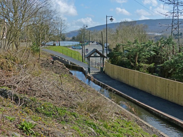
Image: © Robin Drayton Taken: 18 Apr 2013
The southern end of the recently restored leat just before it enters Cyfarthfa Park Lake http://www.geograph.org.uk/photo/3293291 which can be seen in the distance. At the start of the path there is the new 'symbolic gateway' http://www.geograph.org.uk/photo/3428029 .
Images are licensed for reuse under creativecommons.org/licenses/by-sa/2.0
Image Location
Latitude
51.758522
Longitude
-3.395495