The Old Road to Ledbury
Introduction
The photograph on this page of The Old Road to Ledbury by Bob Embleton as part of the Geograph project.
The Geograph project started in 2005 with the aim of publishing, organising and preserving representative images for every square kilometre of Great Britain, Ireland and the Isle of Man.

There are currently over 7.5m images from over 14,400 individuals and you can help contribute to the project by visiting https://www.geograph.org.uk
The Old Road to Ledbury
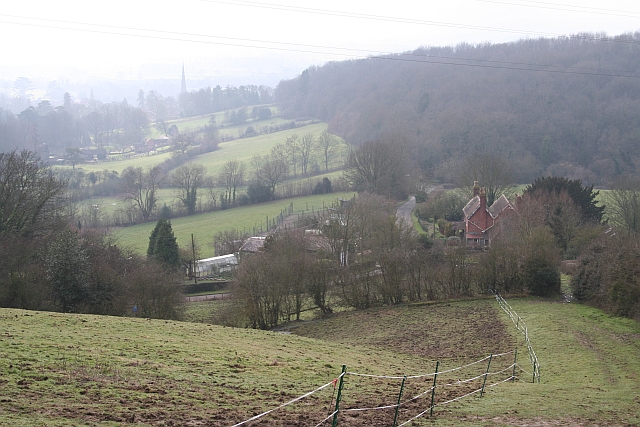
Image: © Bob Embleton Taken: 18 Feb 2007
Looking down from the side of Bradlow Knoll along what was probably an old road through Bradlow, along an existing stretch of road then along the byway along the edge of Dog Hill Wood to Ledbury. The spire of the church in Ledbury can be seen in the distance.
Images are licensed for reuse under creativecommons.org/licenses/by-sa/2.0
Image Location
Latitude
52.039651
Longitude
-2.41983