Chorlton: St. Werburgh's Road Metrolink station
Introduction
The photograph on this page of Chorlton: St. Werburgh's Road Metrolink station by Dr Neil Clifton as part of the Geograph project.
The Geograph project started in 2005 with the aim of publishing, organising and preserving representative images for every square kilometre of Great Britain, Ireland and the Isle of Man.

There are currently over 7.5m images from over 14,400 individuals and you can help contribute to the project by visiting https://www.geograph.org.uk
Chorlton: St. Werburgh's Road Metrolink station
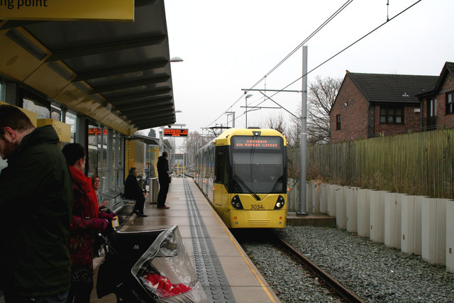
Image: © Dr Neil Clifton Taken: 7 Mar 2013
Car 3034 waits departure time for the long run to Rochdale. Interestingly the destination display includes 'via Market Street', reminding us that a second route across the city is envisaged.
Images are licensed for reuse under creativecommons.org/licenses/by-sa/2.0
Image Location
Latitude
53.438969
Longitude
-2.265957