New Housing Built on Poor Platts charity land Kirkby Road Barwell looking towards Top Town
Introduction
The photograph on this page of New Housing Built on Poor Platts charity land Kirkby Road Barwell looking towards Top Town by Chris Wilson as part of the Geograph project.
The Geograph project started in 2005 with the aim of publishing, organising and preserving representative images for every square kilometre of Great Britain, Ireland and the Isle of Man.

There are currently over 7.5m images from over 14,400 individuals and you can help contribute to the project by visiting https://www.geograph.org.uk
New Housing Built on Poor Platts charity land Kirkby Road Barwell looking towards Top Town
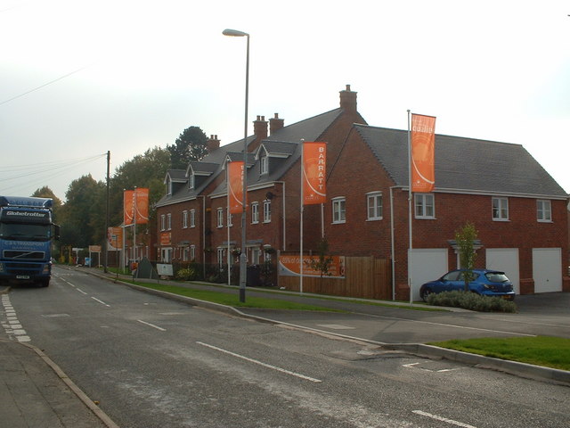
Image: © Chris Wilson Taken: 15 Oct 2006
Images are licensed for reuse under creativecommons.org/licenses/by-sa/2.0
Image Location
Latitude
52.573869
Longitude
-1.34525