Stourport Baptist Church (3) - Church schoolroom, Minster Road, Stourport-on-Severn
Introduction
The photograph on this page of Stourport Baptist Church (3) - Church schoolroom, Minster Road, Stourport-on-Severn by P L Chadwick as part of the Geograph project.
The Geograph project started in 2005 with the aim of publishing, organising and preserving representative images for every square kilometre of Great Britain, Ireland and the Isle of Man.

There are currently over 7.5m images from over 14,400 individuals and you can help contribute to the project by visiting https://www.geograph.org.uk
Stourport Baptist Church (3) - Church schoolroom, Minster Road, Stourport-on-Severn
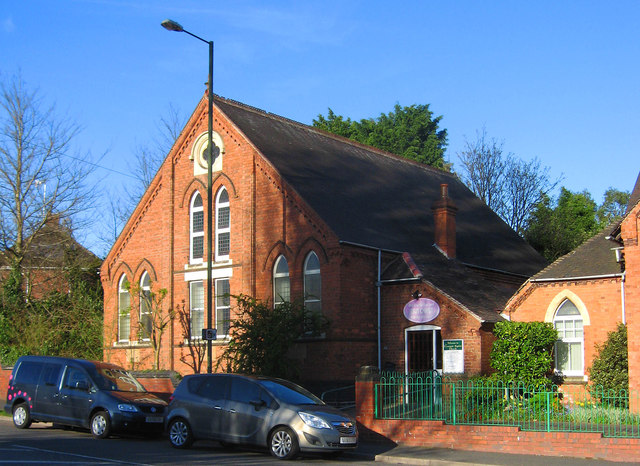
Image: © P L Chadwick Taken: 23 Apr 2013
The schoolroom was built next to the church in 1896. It is well used during the week both for church activities and by local community groups. Other photos, please see:- Image
Images are licensed for reuse under creativecommons.org/licenses/by-sa/2.0
Image Location
Latitude
52.345841
Longitude
-2.27549