Trezaise
Introduction
The photograph on this page of Trezaise by Tony Atkin as part of the Geograph project.
The Geograph project started in 2005 with the aim of publishing, organising and preserving representative images for every square kilometre of Great Britain, Ireland and the Isle of Man.

There are currently over 7.5m images from over 14,400 individuals and you can help contribute to the project by visiting https://www.geograph.org.uk
Trezaise
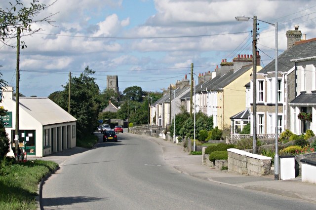
Image: © Tony Atkin Taken: 17 Sep 2005
A row of clayworkers houses south of Roche. The tower of Roche church is visible at the northern end of this grid square.
Images are licensed for reuse under creativecommons.org/licenses/by-sa/2.0
Image Location
Latitude
50.399544
Longitude
-4.830895