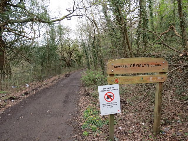
Cwar Crumlin / Crymlyn Quarry
Introduction
The photograph on this page of Cwar Crumlin / Crymlyn Quarry by Alan Richards as part of the Geograph project.
The Geograph project started in 2005 with the aim of publishing, organising and preserving representative images for every square kilometre of Great Britain, Ireland and the Isle of Man.
There are currently over 7.5m images from over 14,400 individuals and you can help contribute to the project by visiting https://www.geograph.org.uk

Image: © Alan Richards Taken: 23 Apr 2013
Y ffordd sy'n arwain at hen gwar Crumlin. Fe'i henwyd ar ol y nant gerllaw. Rhwng 1905 a 1909 aethpwyd â cherrig o'r cwar i adeiladu Doc y Brenin yn Abertawe. Mae nifer o lwybrau dymunol wedi eu creu o amgylch y cwar. The old access road leading to the former Crymlyn Quarry. The site was named after Crumlin - a nearby stream meaning curved pool. Between 1905 and 1909 stone from the quarry was used in the construction of the King's Dock, Swansea. Several paths have been created around the old quarry.

