Cefn yr Esgyrn, Sgiwen/ Skewen
Introduction
The photograph on this page of Cefn yr Esgyrn, Sgiwen/ Skewen by Alan Richards as part of the Geograph project.
The Geograph project started in 2005 with the aim of publishing, organising and preserving representative images for every square kilometre of Great Britain, Ireland and the Isle of Man.

There are currently over 7.5m images from over 14,400 individuals and you can help contribute to the project by visiting https://www.geograph.org.uk
Cefn yr Esgyrn, Sgiwen/ Skewen
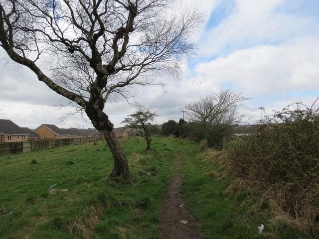
Image: © Alan Richards Taken: 23 Apr 2013
Llwybr cyhoeddus ar gefnen o'r enw Cefn yr Esgyrn o bosibl. Yn yr hen amser arweiniai'r heol at Ffarm Pen Twyn. A public footpath on a ridge possibly known as Cefn yr Esgyrn. The path was formerly the access road to Pen Twyn Farm.
Images are licensed for reuse under creativecommons.org/licenses/by-sa/2.0
Image Location
Latitude
51.655925
Longitude
-3.867828