
Shiel Farm
Introduction
The photograph on this page of Shiel Farm by Bob Forrest as part of the Geograph project.
The Geograph project started in 2005 with the aim of publishing, organising and preserving representative images for every square kilometre of Great Britain, Ireland and the Isle of Man.

There are currently over 7.5m images from over 14,400 individuals and you can help contribute to the project by visiting https://www.geograph.org.uk
Shiel Farm
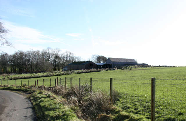
Image: © Bob Forrest Taken: 18 Feb 2007
This farm is adjacent to an area of old limestone and coal workings and has waste bings from the coal pits quite close to the back of the farm buildings. The lands of Gilminscroft were noted for their output of lime to the local farms in the 18th and 19th centuries, which explains the rich green pasture found in an area where glacial till forms the surface material and where wet, boggy conditions should be the norm .
Images are licensed for reuse under creativecommons.org/licenses/by-sa/2.0
Image Location

Latitude
55.50302
Longitude
-4.269543