Lower Langham
Introduction
The photograph on this page of Lower Langham by Derek Harper as part of the Geograph project.
The Geograph project started in 2005 with the aim of publishing, organising and preserving representative images for every square kilometre of Great Britain, Ireland and the Isle of Man.

There are currently over 7.5m images from over 14,400 individuals and you can help contribute to the project by visiting https://www.geograph.org.uk
Lower Langham
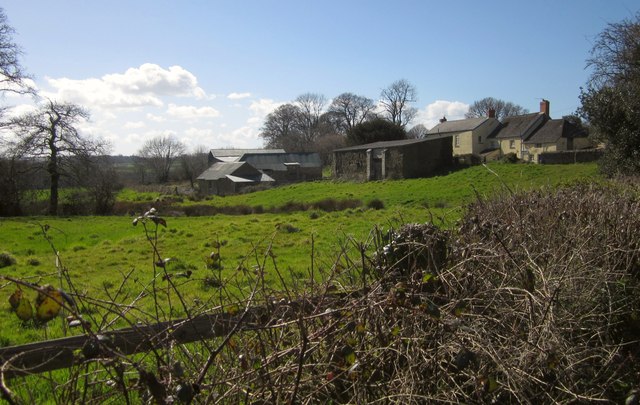
Image: © Derek Harper Taken: 19 Apr 2013
The farm seen from Breaka Lane. Numerous excellent photos taken in the 1970s by James Ravilious of the farm and its activity can be seen on the Beaford Archive at http://www.beaford-arts.org.uk/archive/search.php?q=Lower+Langham .
Images are licensed for reuse under creativecommons.org/licenses/by-sa/2.0
Image Location
Latitude
50.879819
Longitude
-4.051271