Junction of Church Road and Pebble Lane
Introduction
The photograph on this page of Junction of Church Road and Pebble Lane by Roger Templeman as part of the Geograph project.
The Geograph project started in 2005 with the aim of publishing, organising and preserving representative images for every square kilometre of Great Britain, Ireland and the Isle of Man.

There are currently over 7.5m images from over 14,400 individuals and you can help contribute to the project by visiting https://www.geograph.org.uk
Junction of Church Road and Pebble Lane
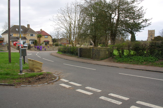
Image: © Roger Templeman Taken: 22 Apr 2013
On the left is the triangle which previously had a brick pillar postbox, replaced by a small metal box on a post. On the right is the railing enclosure of the Golden Spring, and the tower of St Peter's Church in the background.
Images are licensed for reuse under creativecommons.org/licenses/by-sa/2.0
Image Location
Latitude
52.031155
Longitude
-1.140678