A90
Introduction
The photograph on this page of A90 by Richard Webb as part of the Geograph project.
The Geograph project started in 2005 with the aim of publishing, organising and preserving representative images for every square kilometre of Great Britain, Ireland and the Isle of Man.

There are currently over 7.5m images from over 14,400 individuals and you can help contribute to the project by visiting https://www.geograph.org.uk
A90
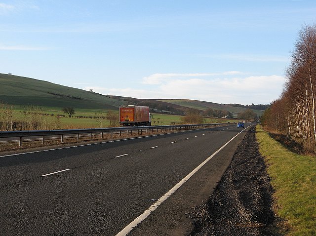
Image: © Richard Webb Taken: 18 Feb 2007
Dual carriageway trunk road connecting Aberdeenshire and the Mearns to the Central Belt and beyond. View southwards from Clatterha in the direction of Forfar.
Images are licensed for reuse under creativecommons.org/licenses/by-sa/2.0
Image Location


Leaflet Map data © OpenStreetMap
Latitude
56.689802
Longitude
-2.845158