Path to Oathlaw
Introduction
The photograph on this page of Path to Oathlaw by Richard Webb as part of the Geograph project.
The Geograph project started in 2005 with the aim of publishing, organising and preserving representative images for every square kilometre of Great Britain, Ireland and the Isle of Man.

There are currently over 7.5m images from over 14,400 individuals and you can help contribute to the project by visiting https://www.geograph.org.uk
Path to Oathlaw
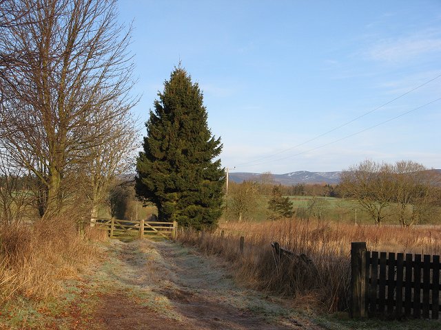
Image: © Richard Webb Taken: 18 Feb 2007
Path from Clatterha to Oathland, with the Mounth behind ( a funny colour for this time of year - usually it is snow covered).
Images are licensed for reuse under creativecommons.org/licenses/by-sa/2.0
Image Location


Leaflet Map data © OpenStreetMap
Latitude
56.691326
Longitude
-2.845682