Connor Downs
Introduction
The photograph on this page of Connor Downs by David Purchase as part of the Geograph project.
The Geograph project started in 2005 with the aim of publishing, organising and preserving representative images for every square kilometre of Great Britain, Ireland and the Isle of Man.

There are currently over 7.5m images from over 14,400 individuals and you can help contribute to the project by visiting https://www.geograph.org.uk
Connor Downs
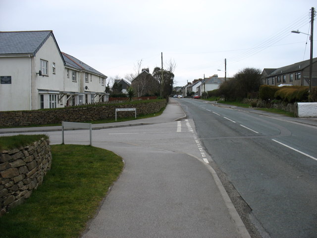
Image: © David Purchase Taken: 9 Apr 2013
The main street through Connor Downs was part of the old A30 to Penzance.
Images are licensed for reuse under creativecommons.org/licenses/by-sa/2.0
Image Location
Latitude
50.203908
Longitude
-5.369286