Bridge Access from Grosvenor Crescent
Introduction
The photograph on this page of Bridge Access from Grosvenor Crescent by Gerald England as part of the Geograph project.
The Geograph project started in 2005 with the aim of publishing, organising and preserving representative images for every square kilometre of Great Britain, Ireland and the Isle of Man.

There are currently over 7.5m images from over 14,400 individuals and you can help contribute to the project by visiting https://www.geograph.org.uk
Bridge Access from Grosvenor Crescent
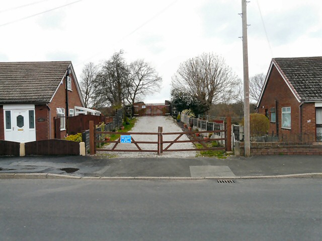
Image: © Gerald England Taken: 21 Apr 2013
At the bottom of Grosvenor Crescent is a short private access road to a bridge over the Manchester to Rose Hill railway line. It leads to grazing land between the railway and the Peak Forest Canal.
Images are licensed for reuse under creativecommons.org/licenses/by-sa/2.0
Image Location
Latitude
53.443369
Longitude
-2.085775