Rumer Hill
Introduction
The photograph on this page of Rumer Hill by Nigel Mykura as part of the Geograph project.
The Geograph project started in 2005 with the aim of publishing, organising and preserving representative images for every square kilometre of Great Britain, Ireland and the Isle of Man.

There are currently over 7.5m images from over 14,400 individuals and you can help contribute to the project by visiting https://www.geograph.org.uk
Rumer Hill
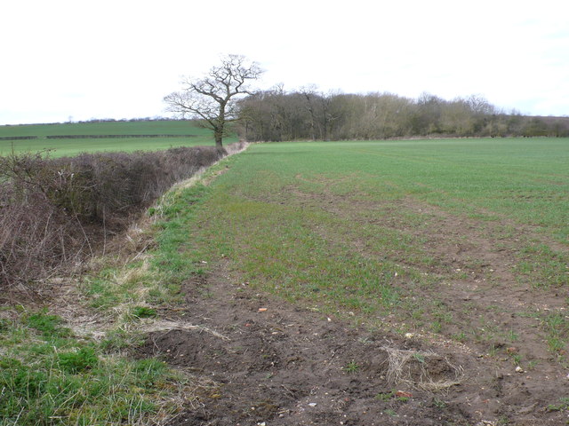
Image: © Nigel Mykura Taken: 14 Apr 2013
Rumer Hill is the south eastern side of Weston Hill. This hedgerow runs from the minor road from Rumer Hill Farm to Weston Sands, up to the unnamed copse on Rumer Hill.
Images are licensed for reuse under creativecommons.org/licenses/by-sa/2.0
Image Location
Latitude
52.151024
Longitude
-1.766986