Denison Street, Beeston
Introduction
The photograph on this page of Denison Street, Beeston by Stephen McKay as part of the Geograph project.
The Geograph project started in 2005 with the aim of publishing, organising and preserving representative images for every square kilometre of Great Britain, Ireland and the Isle of Man.

There are currently over 7.5m images from over 14,400 individuals and you can help contribute to the project by visiting https://www.geograph.org.uk
Denison Street, Beeston
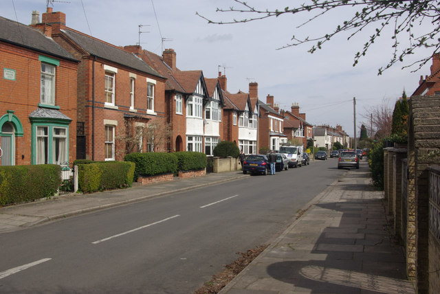
Image: © Stephen McKay Taken: 21 Apr 2013
Suburban Beeston: this road with a mixture of different house styles lies to the north of the town centre.
Images are licensed for reuse under creativecommons.org/licenses/by-sa/2.0
Image Location
Latitude
52.929487
Longitude
-1.223416