North side of Greenfield Street, Pontlottyn
Introduction
The photograph on this page of North side of Greenfield Street, Pontlottyn by Jaggery as part of the Geograph project.
The Geograph project started in 2005 with the aim of publishing, organising and preserving representative images for every square kilometre of Great Britain, Ireland and the Isle of Man.

There are currently over 7.5m images from over 14,400 individuals and you can help contribute to the project by visiting https://www.geograph.org.uk
North side of Greenfield Street, Pontlottyn
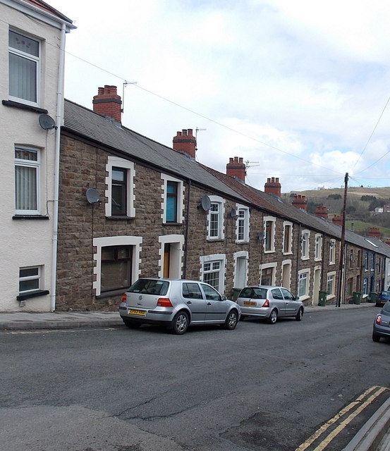
Image: © Jaggery Taken: 19 Apr 2013
Greenfield Street is one of several steep streets descending from the A469 towards flat ground on the west bank of the Rhymney River.
Images are licensed for reuse under creativecommons.org/licenses/by-sa/2.0
Image Location
Latitude
51.743859
Longitude
-3.277429