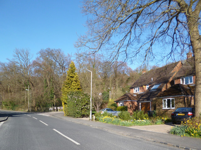
Marlow Bottom & Badgers Way
Introduction
The photograph on this page of Marlow Bottom & Badgers Way by Des Blenkinsopp as part of the Geograph project.
The Geograph project started in 2005 with the aim of publishing, organising and preserving representative images for every square kilometre of Great Britain, Ireland and the Isle of Man.
There are currently over 7.5m images from over 14,400 individuals and you can help contribute to the project by visiting https://www.geograph.org.uk

Image: © Des Blenkinsopp Taken: 20 Apr 2013
Very much the edge of town here, with housing along the valley floor, but woodland not far away. Badgers Way is the road off to the right by the bend. I only mention this because it's such a predictable name for a road in this sort of area. Badgers inevitably seem to be implicated in street naming where countryside has recently been built over. Far more so than Toads, Rabbits and Snakes, which are all equally disturbed by the construction process but are somehow less respectable.

