Entering Kings Caple from Fawley Cross
Introduction
The photograph on this page of Entering Kings Caple from Fawley Cross by David Smith as part of the Geograph project.
The Geograph project started in 2005 with the aim of publishing, organising and preserving representative images for every square kilometre of Great Britain, Ireland and the Isle of Man.

There are currently over 7.5m images from over 14,400 individuals and you can help contribute to the project by visiting https://www.geograph.org.uk
Entering Kings Caple from Fawley Cross
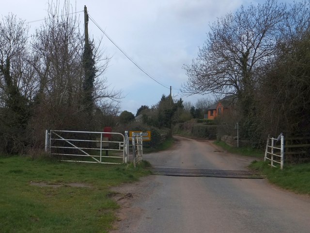
Image: © David Smith Taken: 16 Apr 2013
After the open parkland of Fawley Court, the cattle grid is on the edge of the village. Beyond is the parapet of a bridge over the former railway line. Fawley station was on the left of the bridge
Images are licensed for reuse under creativecommons.org/licenses/by-sa/2.0
Image Location
Latitude
51.965389
Longitude
-2.622469