Farmland at Furzeleigh Lane
Introduction
The photograph on this page of Farmland at Furzeleigh Lane by Graham Horn as part of the Geograph project.
The Geograph project started in 2005 with the aim of publishing, organising and preserving representative images for every square kilometre of Great Britain, Ireland and the Isle of Man.

There are currently over 7.5m images from over 14,400 individuals and you can help contribute to the project by visiting https://www.geograph.org.uk
Farmland at Furzeleigh Lane
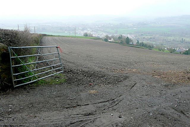
Image: © Graham Horn Taken: 15 Apr 2013
After a long climb up from Bovery Tracey, we stopped for a rest here and had a good, if hazy, view back to the town where we had started our walk. I presume something is sown in this field that has not yet started to poke through.
Images are licensed for reuse under creativecommons.org/licenses/by-sa/2.0
Image Location
Latitude
50.600496
Longitude
-3.672959