Hayes Green, western end
Introduction
The photograph on this page of Hayes Green, western end by Christine Johnstone as part of the Geograph project.
The Geograph project started in 2005 with the aim of publishing, organising and preserving representative images for every square kilometre of Great Britain, Ireland and the Isle of Man.

There are currently over 7.5m images from over 14,400 individuals and you can help contribute to the project by visiting https://www.geograph.org.uk
Hayes Green, western end
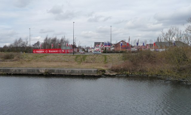
Image: © Christine Johnstone Taken: 13 Apr 2013
Redrow and Wimpey seem to be involved in this new housing development on the north bank of the Manchester Ship Canal.
Images are licensed for reuse under creativecommons.org/licenses/by-sa/2.0
Image Location
Latitude
53.423195
Longitude
-2.434246