Brook height gauge, Lea
Introduction
The photograph on this page of Brook height gauge, Lea by Jaggery as part of the Geograph project.
The Geograph project started in 2005 with the aim of publishing, organising and preserving representative images for every square kilometre of Great Britain, Ireland and the Isle of Man.

There are currently over 7.5m images from over 14,400 individuals and you can help contribute to the project by visiting https://www.geograph.org.uk
Brook height gauge, Lea
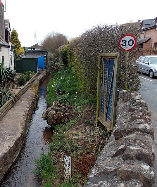
Image: © Jaggery Taken: 21 Apr 2013
The brook here flows between a house and the B4222 near the A40 crossroads in the south Herefordshire village of Lea.
Images are licensed for reuse under creativecommons.org/licenses/by-sa/2.0
Image Location


Leaflet Map data © OpenStreetMap
Latitude
51.893542
Longitude
-2.491561