Eggesford Fourways
Introduction
The photograph on this page of Eggesford Fourways by Derek Harper as part of the Geograph project.
The Geograph project started in 2005 with the aim of publishing, organising and preserving representative images for every square kilometre of Great Britain, Ireland and the Isle of Man.

There are currently over 7.5m images from over 14,400 individuals and you can help contribute to the project by visiting https://www.geograph.org.uk
Eggesford Fourways
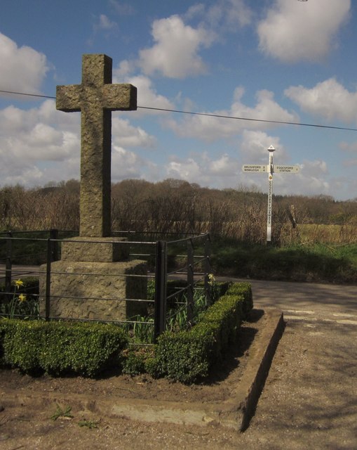
Image: © Derek Harper Taken: 19 Apr 2013
Another image taken at the crossroads, with the war memeorail shown in Image and the signpost shown in creativecommons.org/licenses/by-sa/2.0
Image Location
Latitude
50.875016
Longitude
-3.871534