Waterlogged Fields at New Barn Farm
Introduction
The photograph on this page of Waterlogged Fields at New Barn Farm by Nigel Mykura as part of the Geograph project.
The Geograph project started in 2005 with the aim of publishing, organising and preserving representative images for every square kilometre of Great Britain, Ireland and the Isle of Man.

There are currently over 7.5m images from over 14,400 individuals and you can help contribute to the project by visiting https://www.geograph.org.uk
Waterlogged Fields at New Barn Farm
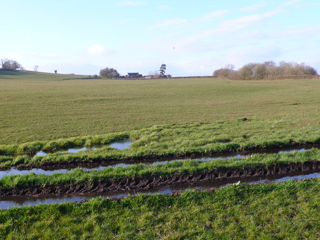
Image: © Nigel Mykura Taken: 12 Apr 2013
These water filled ruts are right on the southern edge of the grid square, where a footpath runs up the hill towards Whitewood Farm which is visible on the horizon. The trees on the right mark the route of a dismantled railway.
Images are licensed for reuse under creativecommons.org/licenses/by-sa/2.0
Image Location
Latitude
51.394995
Longitude
-2.566543