Council Housing - Mayfield Road
Introduction
The photograph on this page of Council Housing - Mayfield Road by John M as part of the Geograph project.
The Geograph project started in 2005 with the aim of publishing, organising and preserving representative images for every square kilometre of Great Britain, Ireland and the Isle of Man.

There are currently over 7.5m images from over 14,400 individuals and you can help contribute to the project by visiting https://www.geograph.org.uk
Council Housing - Mayfield Road
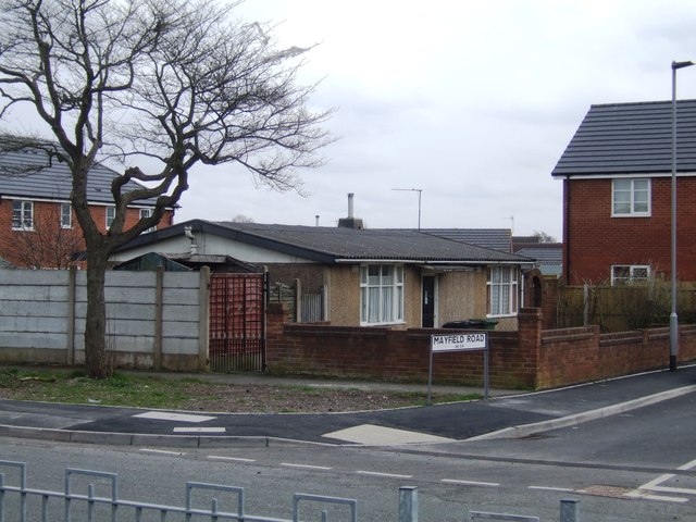
Image: © John M Taken: 21 Apr 2013
Rare survivor of the immediate post-war Tarran pre-fab bungalows.
Images are licensed for reuse under creativecommons.org/licenses/by-sa/2.0
Image Location
Latitude
52.582203
Longitude
-2.093082