All Saints' Episcopal Church
Introduction
The photograph on this page of All Saints' Episcopal Church by Bill Harrison as part of the Geograph project.
The Geograph project started in 2005 with the aim of publishing, organising and preserving representative images for every square kilometre of Great Britain, Ireland and the Isle of Man.

There are currently over 7.5m images from over 14,400 individuals and you can help contribute to the project by visiting https://www.geograph.org.uk
All Saints' Episcopal Church
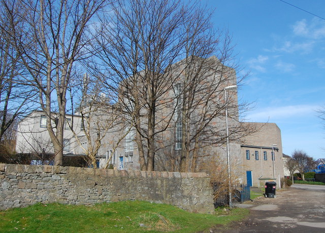
Image: © Bill Harrison Taken: 20 Apr 2013
Built 1935; view from the south west towards the nave.
Images are licensed for reuse under creativecommons.org/licenses/by-sa/2.0
Image Location
Latitude
57.169617
Longitude
-2.129793