Steyning Road
Introduction
The photograph on this page of Steyning Road by Simon Carey as part of the Geograph project.
The Geograph project started in 2005 with the aim of publishing, organising and preserving representative images for every square kilometre of Great Britain, Ireland and the Isle of Man.

There are currently over 7.5m images from over 14,400 individuals and you can help contribute to the project by visiting https://www.geograph.org.uk
Steyning Road
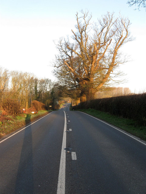
Image: © Simon Carey Taken: 20 Apr 2013
The modern A283 heading westwards to Buncton Crossways. Long shadows, orange glowing trees and no traffic evident about 35 minutes after sunrise on a Saturday morning.
Images are licensed for reuse under creativecommons.org/licenses/by-sa/2.0
Image Location
Latitude
50.909481
Longitude
-0.369082