Meadowhead
Introduction
The photograph on this page of Meadowhead by Bob Forrest as part of the Geograph project.
The Geograph project started in 2005 with the aim of publishing, organising and preserving representative images for every square kilometre of Great Britain, Ireland and the Isle of Man.

There are currently over 7.5m images from over 14,400 individuals and you can help contribute to the project by visiting https://www.geograph.org.uk
Meadowhead
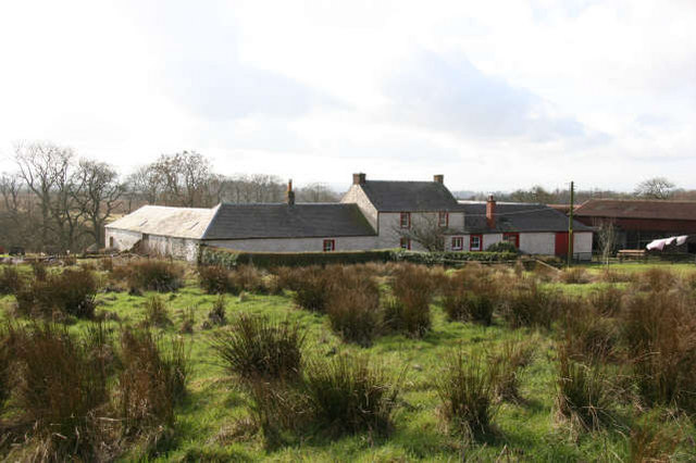
Image: © Bob Forrest Taken: 17 Feb 2007
Located above the Burn o'Need in an area where the land is very heavy and wet in the absence of a natural slope. The main farming interest appears to be in the rearing of beef cattle and sheep.
Images are licensed for reuse under creativecommons.org/licenses/by-sa/2.0
Image Location
Latitude
55.531875
Longitude
-4.303058