The Boundary Between Lavendon & Cold Brayfield Parishes
Introduction
The photograph on this page of The Boundary Between Lavendon & Cold Brayfield Parishes by Nigel Stickells as part of the Geograph project.
The Geograph project started in 2005 with the aim of publishing, organising and preserving representative images for every square kilometre of Great Britain, Ireland and the Isle of Man.

There are currently over 7.5m images from over 14,400 individuals and you can help contribute to the project by visiting https://www.geograph.org.uk
The Boundary Between Lavendon & Cold Brayfield Parishes
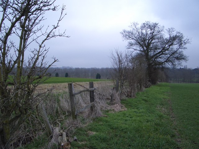
Image: © Nigel Stickells Taken: 18 Feb 2007
This sparse hedgeline forms a small part of the boundary between the parishes of Lavendon and Cold Brayfield. This easterly view from the Snelson-Cold Brayfield bridleway is towards the River Great Ouse valley and the estate grounds of Turvey House in the neighbouring county of Bedfordshire.
Images are licensed for reuse under creativecommons.org/licenses/by-sa/2.0
Image Location
Latitude
52.172766
Longitude
-0.635648