No.10 Hammersmith Grove
Introduction
The photograph on this page of No.10 Hammersmith Grove by David Anstiss as part of the Geograph project.
The Geograph project started in 2005 with the aim of publishing, organising and preserving representative images for every square kilometre of Great Britain, Ireland and the Isle of Man.

There are currently over 7.5m images from over 14,400 individuals and you can help contribute to the project by visiting https://www.geograph.org.uk
No.10 Hammersmith Grove
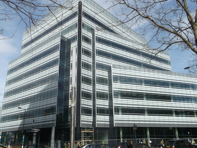
Image: © David Anstiss Taken: 14 Apr 2013
Construction site on the site of the carpark near Hammersmith Underground station. Two large offices buildings (one is almost completed) on the junction of Hammersmith Road and Beadon Road (in front).
Images are licensed for reuse under creativecommons.org/licenses/by-sa/2.0
Image Location
Latitude
51.493634
Longitude
-0.225729