Upper Burnmouth
Introduction
The photograph on this page of Upper Burnmouth by Walter Baxter as part of the Geograph project.
The Geograph project started in 2005 with the aim of publishing, organising and preserving representative images for every square kilometre of Great Britain, Ireland and the Isle of Man.

There are currently over 7.5m images from over 14,400 individuals and you can help contribute to the project by visiting https://www.geograph.org.uk
Upper Burnmouth
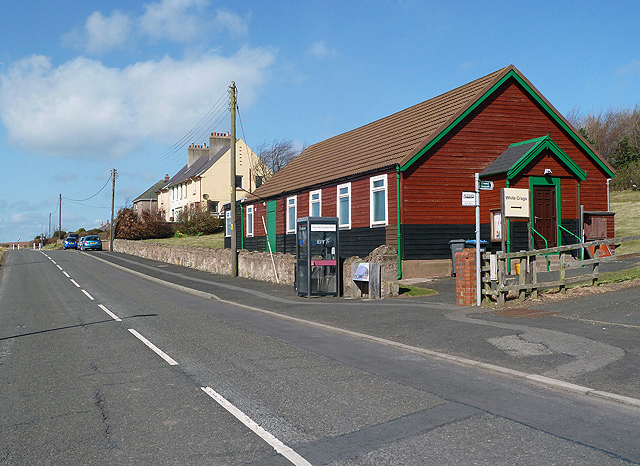
Image: © Walter Baxter Taken: 16 Apr 2013
These houses and Burnmouth Village Hall on the right are on the north side of the village. The hall was opened in 1927.
Images are licensed for reuse under creativecommons.org/licenses/by-sa/2.0
Image Location
Latitude
55.843542
Longitude
-2.075189