Ringneill Bay, Strangford Lough (2)
Introduction
The photograph on this page of Ringneill Bay, Strangford Lough (2) by Albert Bridge as part of the Geograph project.
The Geograph project started in 2005 with the aim of publishing, organising and preserving representative images for every square kilometre of Great Britain, Ireland and the Isle of Man.

There are currently over 7.5m images from over 14,400 individuals and you can help contribute to the project by visiting https://www.geograph.org.uk
Ringneill Bay, Strangford Lough (2)
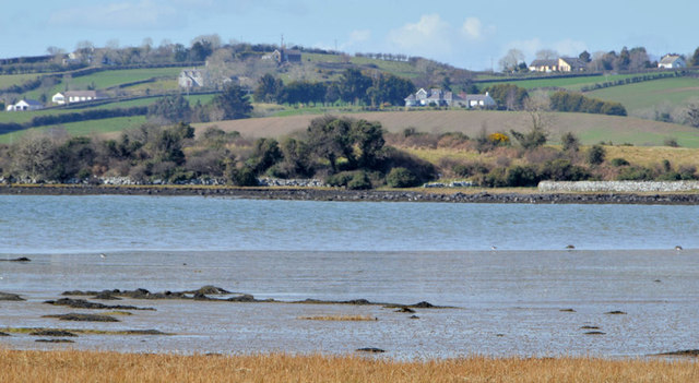
Image: © Albert Bridge Taken: 20 Apr 2013
The view from the Ringneill Road Image, across the bay, towards the shore to the south of Drum Hill. The photograph was taken about 2½ hours after high water Killyleagh. There are a few oystercatchers feeding on the inter-tidal mud.
Images are licensed for reuse under creativecommons.org/licenses/by-sa/2.0
Image Location
Latitude
54.51394
Longitude
-5.659244