Arecleoch Wind Farm View
Introduction
The photograph on this page of Arecleoch Wind Farm View by Mary and Angus Hogg as part of the Geograph project.
The Geograph project started in 2005 with the aim of publishing, organising and preserving representative images for every square kilometre of Great Britain, Ireland and the Isle of Man.

There are currently over 7.5m images from over 14,400 individuals and you can help contribute to the project by visiting https://www.geograph.org.uk
Arecleoch Wind Farm View
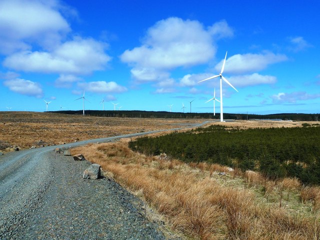
Image: © Mary and Angus Hogg Taken: 19 Apr 2013
Arecleoch (pronounced Airey-Clay) is a large wind farm operated by Scottish Power Renewables. Existing forestry roads were upgraded to accommodate the heavy construction traffic.
Images are licensed for reuse under creativecommons.org/licenses/by-sa/2.0
Image Location
Latitude
55.07894
Longitude
-4.847592