Turnberrie's Community Building, Thornbury
Introduction
The photograph on this page of Turnberrie's Community Building, Thornbury by Jaggery as part of the Geograph project.
The Geograph project started in 2005 with the aim of publishing, organising and preserving representative images for every square kilometre of Great Britain, Ireland and the Isle of Man.

There are currently over 7.5m images from over 14,400 individuals and you can help contribute to the project by visiting https://www.geograph.org.uk
Turnberrie's Community Building, Thornbury
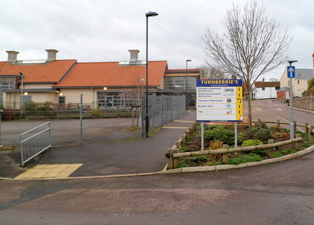
Image: © Jaggery Taken: 1 Jan 2012
Viewed from Bath Road. The board shows that the community building includes Thornbury Community Building Trust, South Gloucestershire Day Services, Thornbury Youth Centre, Brandon Trust and a cafe.
Images are licensed for reuse under creativecommons.org/licenses/by-sa/2.0
Image Location
Latitude
51.606228
Longitude
-2.52325