East end of Greenwood Road, Bakersfield
Introduction
The photograph on this page of East end of Greenwood Road, Bakersfield by Richard Vince as part of the Geograph project.
The Geograph project started in 2005 with the aim of publishing, organising and preserving representative images for every square kilometre of Great Britain, Ireland and the Isle of Man.

There are currently over 7.5m images from over 14,400 individuals and you can help contribute to the project by visiting https://www.geograph.org.uk
East end of Greenwood Road, Bakersfield
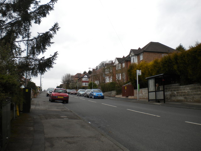
Image: © Richard Vince Taken: 13 Apr 2013
The bus stop on the right is the nominal terminus for Nottingham City Transport route 43, though buses seldom wait there as they serve Bakersfield with a unidirectional loop.
Images are licensed for reuse under creativecommons.org/licenses/by-sa/2.0
Image Location
Latitude
52.959117
Longitude
-1.091584