18th-century Methodist meeting house
Introduction
The photograph on this page of 18th-century Methodist meeting house by John Baker as part of the Geograph project.
The Geograph project started in 2005 with the aim of publishing, organising and preserving representative images for every square kilometre of Great Britain, Ireland and the Isle of Man.

There are currently over 7.5m images from over 14,400 individuals and you can help contribute to the project by visiting https://www.geograph.org.uk
18th-century Methodist meeting house
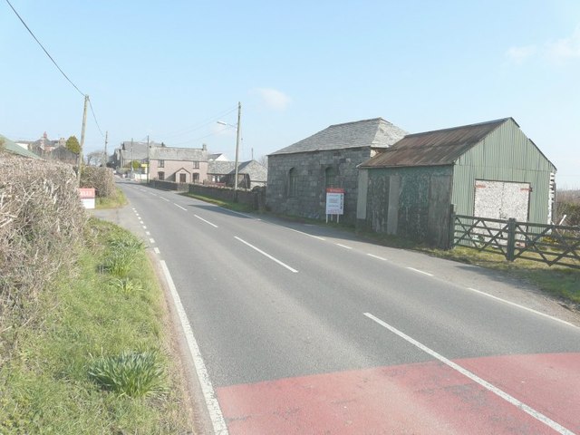
Image: © John Baker Taken: 28 Mar 2013
Up for sale beside the B3254, on the outskirts of Whitstone.
Images are licensed for reuse under creativecommons.org/licenses/by-sa/2.0
Image Location
Latitude
50.753881
Longitude
-4.457207