
Track, Whitedown Plantation
Introduction
The photograph on this page of Track, Whitedown Plantation by Simon Carey as part of the Geograph project.
The Geograph project started in 2005 with the aim of publishing, organising and preserving representative images for every square kilometre of Great Britain, Ireland and the Isle of Man.

There are currently over 7.5m images from over 14,400 individuals and you can help contribute to the project by visiting https://www.geograph.org.uk
Track, Whitedown Plantation
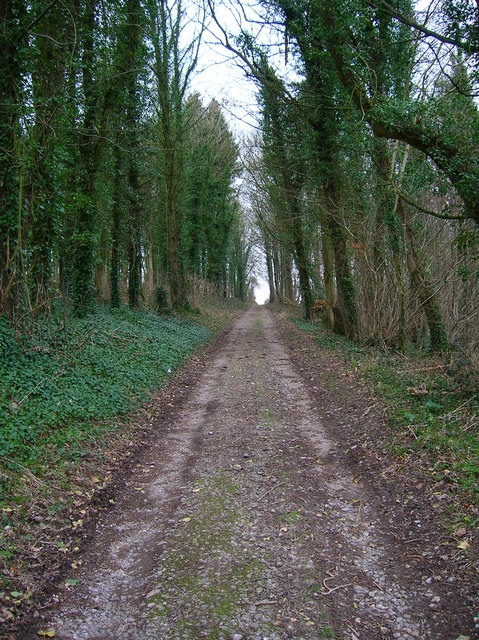
Image: © Simon Carey Taken: 18 Feb 2007
This small section of track and plantation just crosses through the north east corner of the grid square and pretty much represents the only public access to the square. At least I think it does, there were no signs telling me it was a private track at either end and judging by the footprints, bicycle tyre tracks and horseshoe prints this is a well used thoroughfare.
Images are licensed for reuse under creativecommons.org/licenses/by-sa/2.0
Image Location

Latitude
50.910049
Longitude
-0.793227